HOME
SERVICES
PROJECTS
ABOUT
CONTACT
PORTFOLIO HIGHLIGHTS
More
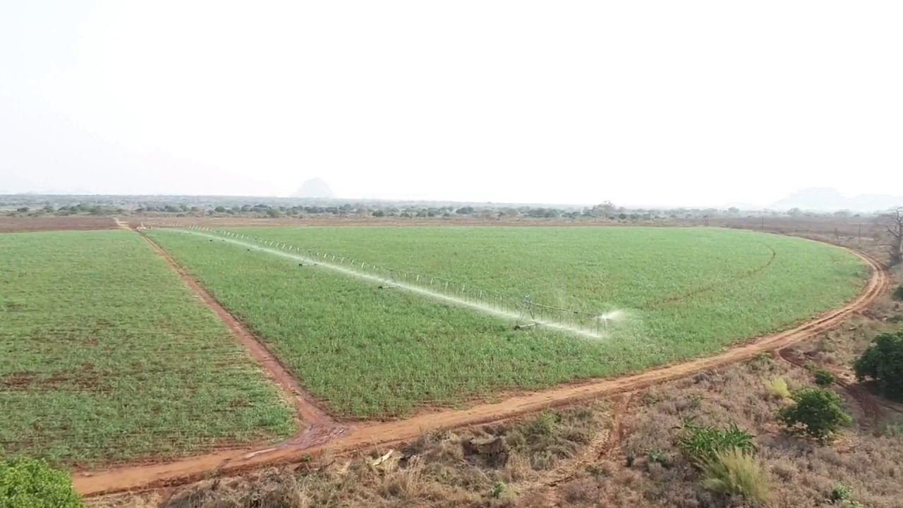
If you looking for a aerial image or a spatial solution you've come to the right place! We supply both Drone and Satellite imagery.
Our spatial solutions extend into both elevation and 3D models. If you looking for a drainage model or a RTK survey then this is the product for you!
Both data management and quality are an import aspect to any farm. We've developed a IT solutions to help our clients manage their farms.