top of page

Aerial Survey Services
Large scale, high accuracy surveys utilizing the latest in drone technology
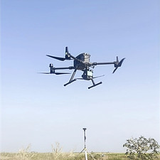
LiDAR and Photogrammetry
Data acquisition through LiDAR or photogrammetry drone systems
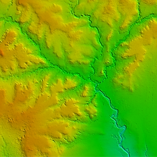
Terrain modelling
Utilise dense point clouds to produce highly accurate digital terrain models and detailed imagery
.jpg)
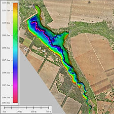
Geospatial Analysis
Further quantify insights through hydrological modelling, population counts, land use plans and other GIS applications


bottom of page